Ash measurements
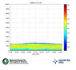
Recently, the IMO obtained a LIDAR (Light Detection and Ranging) on loan from the National Centre for Atmospheric Science (NCAS) in the UK. The instrument transmits laser beams into the atmosphere and measures the light that is backscattered towards the ground.
The instrument was installed on the lowlands close to the volcano Eyjafjallajökull which erupted last year. The aim was to measure windblown resuspended ash from last year's eruption. Following the eruption at Grimsvotn it was on May 22nd moved to the Keflavik International Airport in Keflavík in order to detect ash if as was present in the atmosphere above the airport.
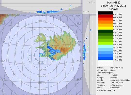
The IMO owns a weather radar which is situated on Miðnesheiði, close to the Keflavík airport. The main purpose of the weather radar is to monitor precipitation, but the but raindrops scatter the microwave radiation from the radar and the the backscatter is measured by the radar. The radar has also been successfully used in monitoring eruption plumes, recording reflections from ash particles and water droplets in the plume.

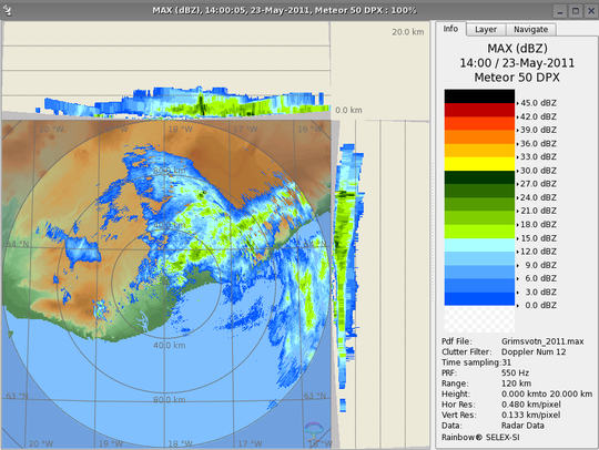
During the 2010 Eyjafjallajökull eruption, the weather radar proved to be a very useful tool, but the great distance to the eruption site (160 km) reduced the quality of the data. Therefore, a mobile X-band weather radar was purchased, but while this custom made radar was being assembled and tested, another was obtained on loan from the Italian Civil Protection Agency. The mobile radar is now situated near the town of Kirkjubæjarklaustur, 80 km from the eruption site in Grímsvötn. IMO staff members monitor the progress of the eruption using the two weather radars.


