Measuring glaciers
The glaciers in Iceland have changed immensely in historic time, in particular in most recent decades, as the decrease amounts to approximately 0,3-0,5% every year.
In an expedition twice a year, spring and autumn, scientists of the IMO keep track of the development of Hofsjökull and Drangajökull, measuring precipitation, ablation and ice-slide.
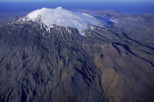
Similar projects were launched jointly with the Institute of Earth Science of the University of Iceland, in 2008, aiming at the mapping of the surface of the largest glaciers using laser technology from airplane. The project is endorsed by the Icelandic Polar Year Commission. It set out in September 2008, comprising Hofsjökull, Mýrdalsjökull, Eyjafjallajökull, Eiríksjökull and Snæfellsjökull.
The outlines of Icelandic glaciers have been registered, using maps, aerial photographs and satellite images. The data has been released, e.g. by World Glacier Monitoring Service in Zürich and Global Land Ice Measurements from Space (GLIMS) in Flagstaff, Arizona.


