
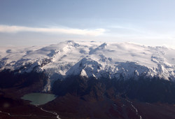
Eyjafjallajökull
The Eyjafjallajökull volcanic system is located on the Eastern Volcanic zone, approximately 25 km west of Katla volcano. Eyjafjallajökull volcano is a 1666 m high stratovolcano with an east-west elongated direction, the system is about 25 km long and 15 km wide. The volcano is mostly covered by ice and has an ice-filled caldera of about 2.5 km wide.
In the last 8000 years Eyjafjallajökul has been moderately active, with its most recent eruption in 2010. Magma which has reached the surface during Holocene ranges from being basaltic up to rhyolitic. Preceding the eruption in 2010, known eruptions from the volcano were in 1921-1823, 1612-1613 and possibly in 920CE. Volcanic eruptions during Holocene have been mostly of three types:
- Summit eruption from the crater/caldera with felsic lava erupted with phreatic eruption as tephra. These explosive eruptions can cause jökulhlaup and increase of flooding in glacial rivers around the volcano.
- Explosive eruptions outside the summit crater/caldera, either partially or completely under the glacier, where the magma is most likely basaltic or andesitic. These eruptions have caused jökulhlaup to the north, south and west of the volcano.
- Effusive eruption form fissures running from outside the glacier area with basalt-anderitic or basaltic magma.
For more information on the Eyjafjallajökull volcanic system, visit Catalogue of Icelandic volcanoes.
Monitoring of Eyjafjallajökull
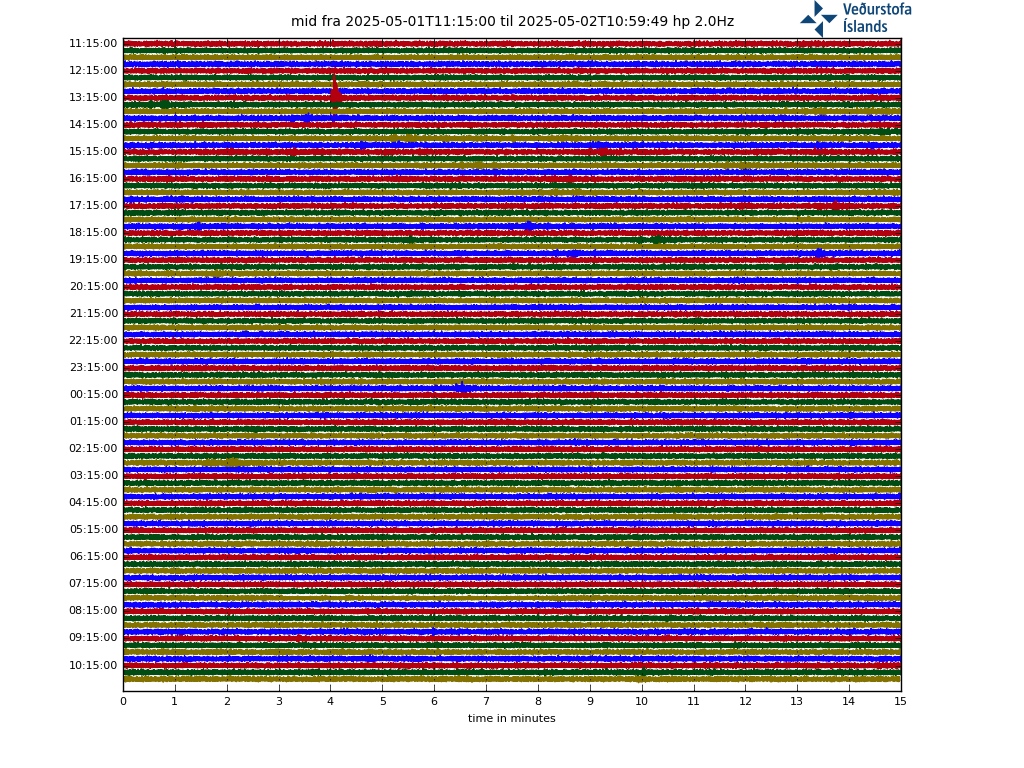
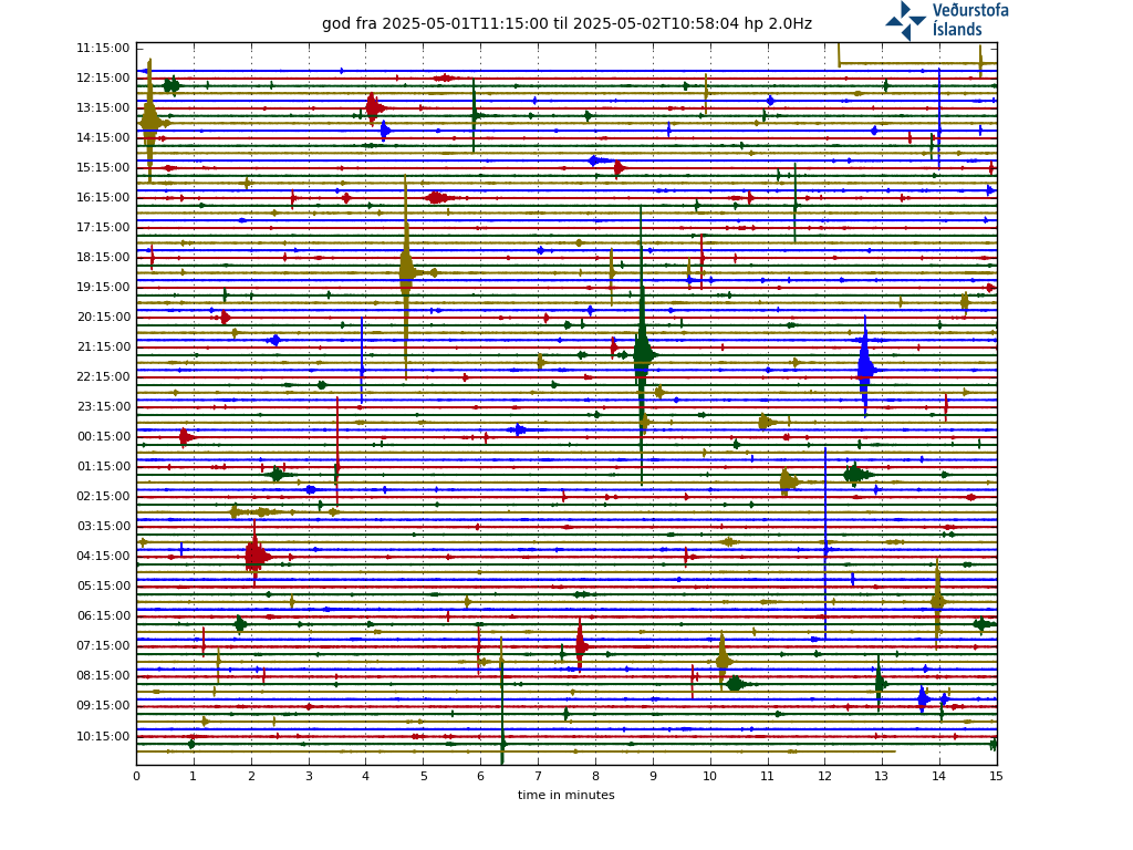
Seismicity
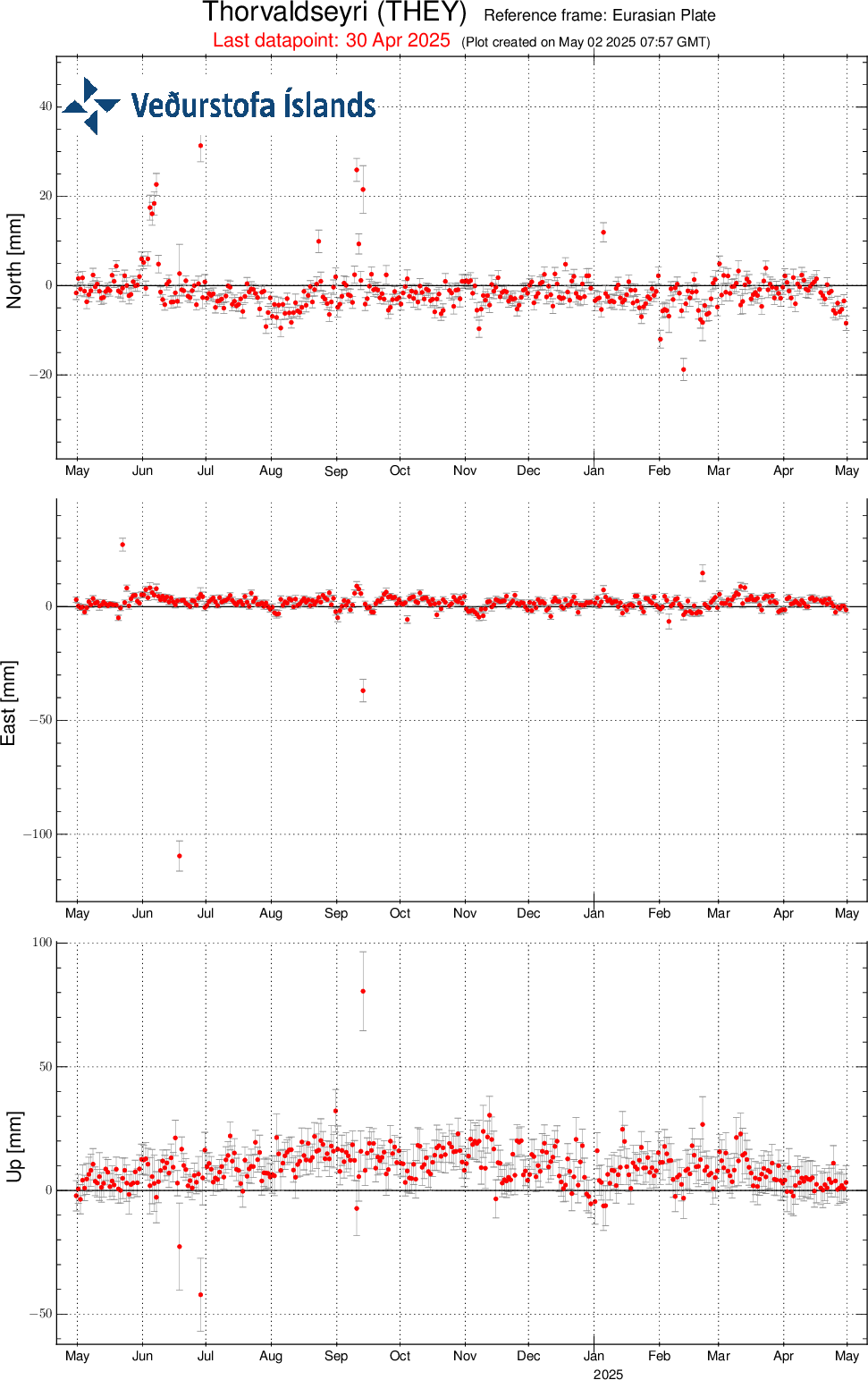
GPS | GPS Monitoring

Note that real-time data on this website has not been reviewed. Kindly study Terms and conditions which apply to usage of data from the Icelandic Meteorological Office's web-site.


