
Bárdarbunga
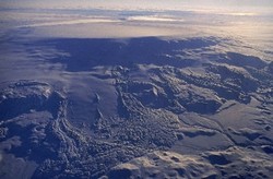
The Bárðarbunga system lies on the Eastern Volcanic zone and is about 190 km long and up to 25 km wide, consisting with a central volcanoe rising up to 2009 meters above sea level and fissure swarm party covered by the Vatnajökull ice cap. The system is the longest volcanic system in Iceland and gets its name from the central volcano Bárðarbunga. Vatnajökull glacier covers most of the central volcano and its fissure swarms. The volcano has a 65 km2 ice-filled caldera. The volcanic system has been quite active during Holocene, with at least 26 eruptions in the last 11 centuries and is considered to be the most active volcanic system in Iceland. The most recent eruption from Bárðarbunga, was a large fissure eruption in Holuhraun which started in August 2014 and lasted until February 2015. Most eruptions from Bárðarbunga are basaltic explosive eruptions on the edges of the volcano, but large lavaflows are also known, for example the eruption of the Great Thjórsá Lava (Þjórsárhraun) which formed by an eruption within the system about 8000 years ago. Eruptions from the central volcano can cause glacial floods (jökulhlaup) which would be brought down rivers in the west and/or north of Vatnajökull glacier, and eruptions in the southern fissure swarm of the system could produce trouble for the most active power station area.
For more information on the Bárðarbunga volcanic system, visit Catalogue of Icelandic volcanoes.
Monitoring Bárðarbunga
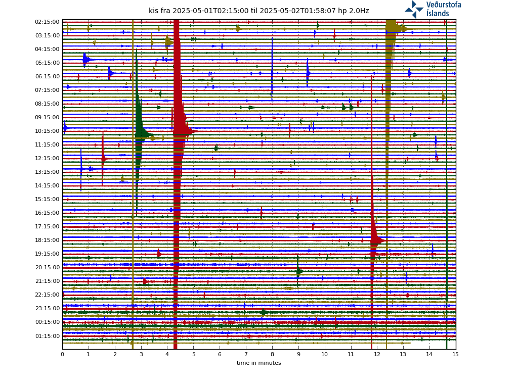
Seismicity

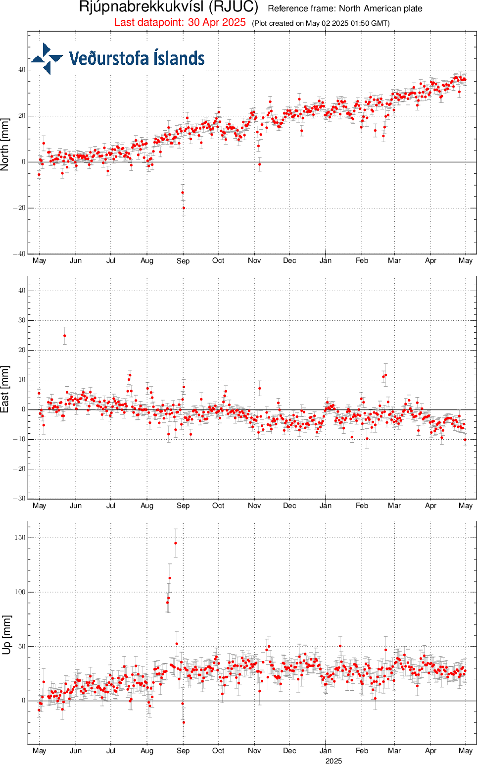
GPS

Note that real-time data on this website has not been reviewed. Kindly study Terms and conditions which apply to usage of data from the Icelandic Meteorological Office's web-site.


