
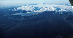
Katla
Katla volcanic system is located in Mýrdalsjökull within the Eastern Volcanic Zone and it is about 80 km long and the central volcano rises up to 1500 m.a.s.l. with an ice filled 9x14 km caldera and active fissure swarm the extend to the northeast. The volcanic system has been highly active during Holocene and is considered the fourth most active system in Iceland, with at least 21 eruptions in the last 1100 year. The last eruption to break through the ice was in 1918. During historic time (Since settlement/colonisation), the average repose period between eruptions has been about 50 years. However, in 2018 there will be 100 years since the last eruption broke through the ice sheet.
Characteristic activity in Katla is explosive basaltic eruptions that spew tephra over nearby areas, how far depends on the size of the eruption. Silicic eruptions are also known, as well as effusive basaltic eruptions. Although the effusive basaltic eruptions are the least common they are the largest known to have taken within the Katla volcanic system. The latest eruption of that sort was the Eldgjá fissure eruption in ~939 CE which produced about 20km3 of lava and tephra. Jökulhlaups (glacial outburst floods) are commonly associated with Eruptions from Katla, as the magma melts the glacier while heading to the surface.
For more information on the Katla volcanic system, visit the Catalogue of Icelandic Volcanoes
Monitoring Katla
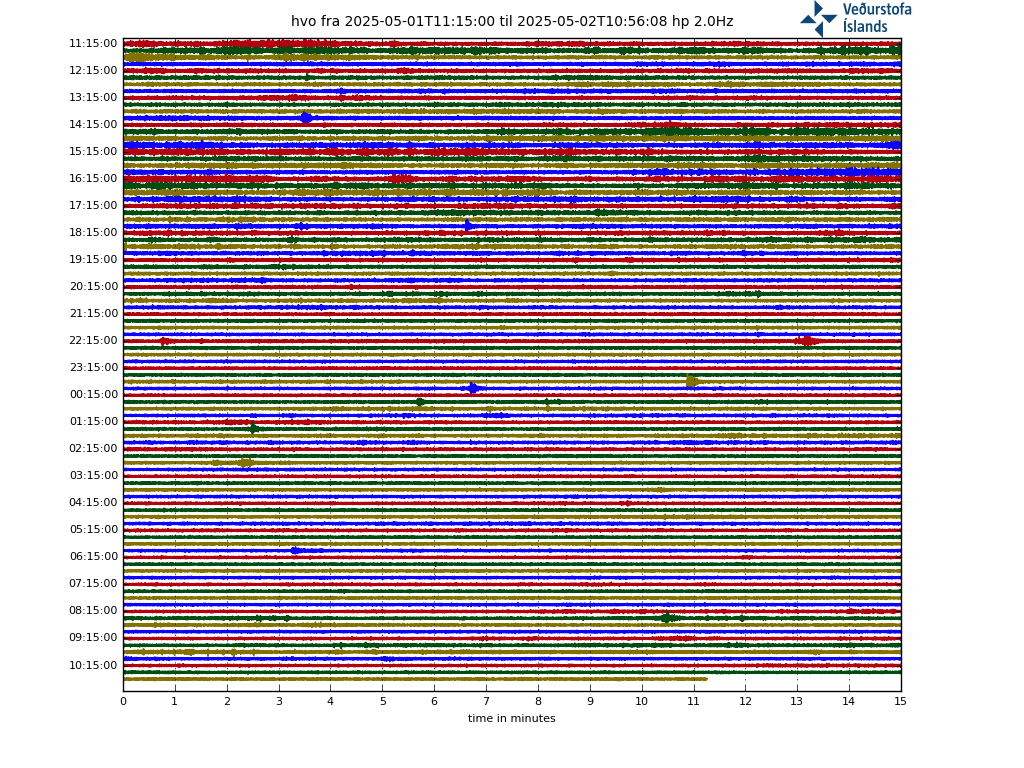
Seismisity

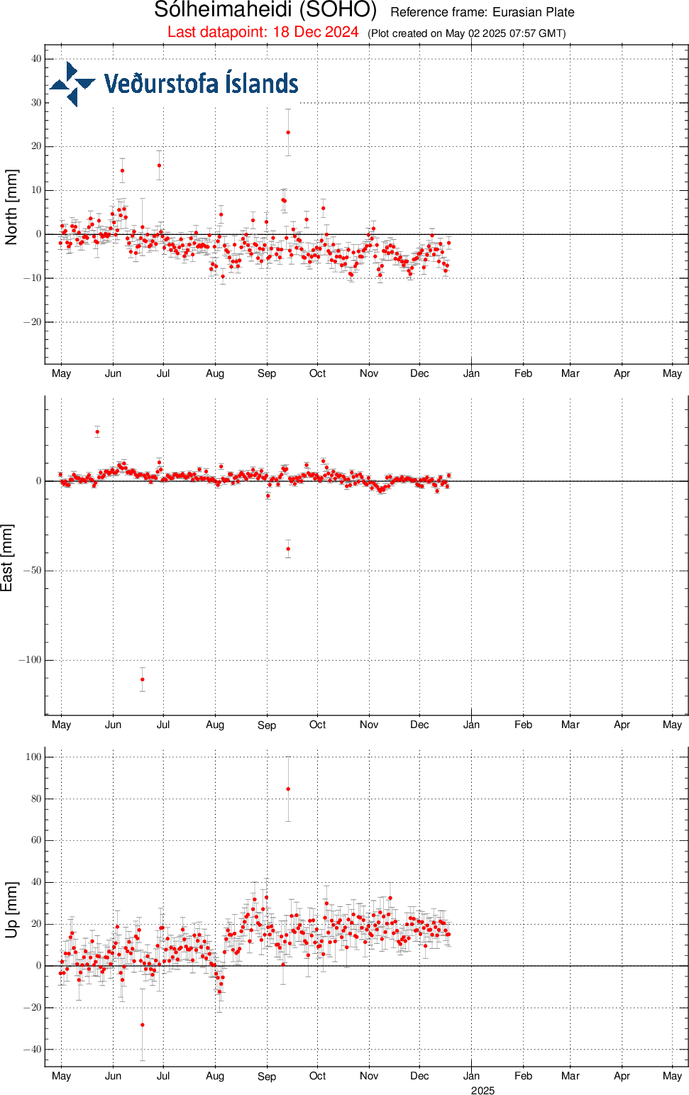
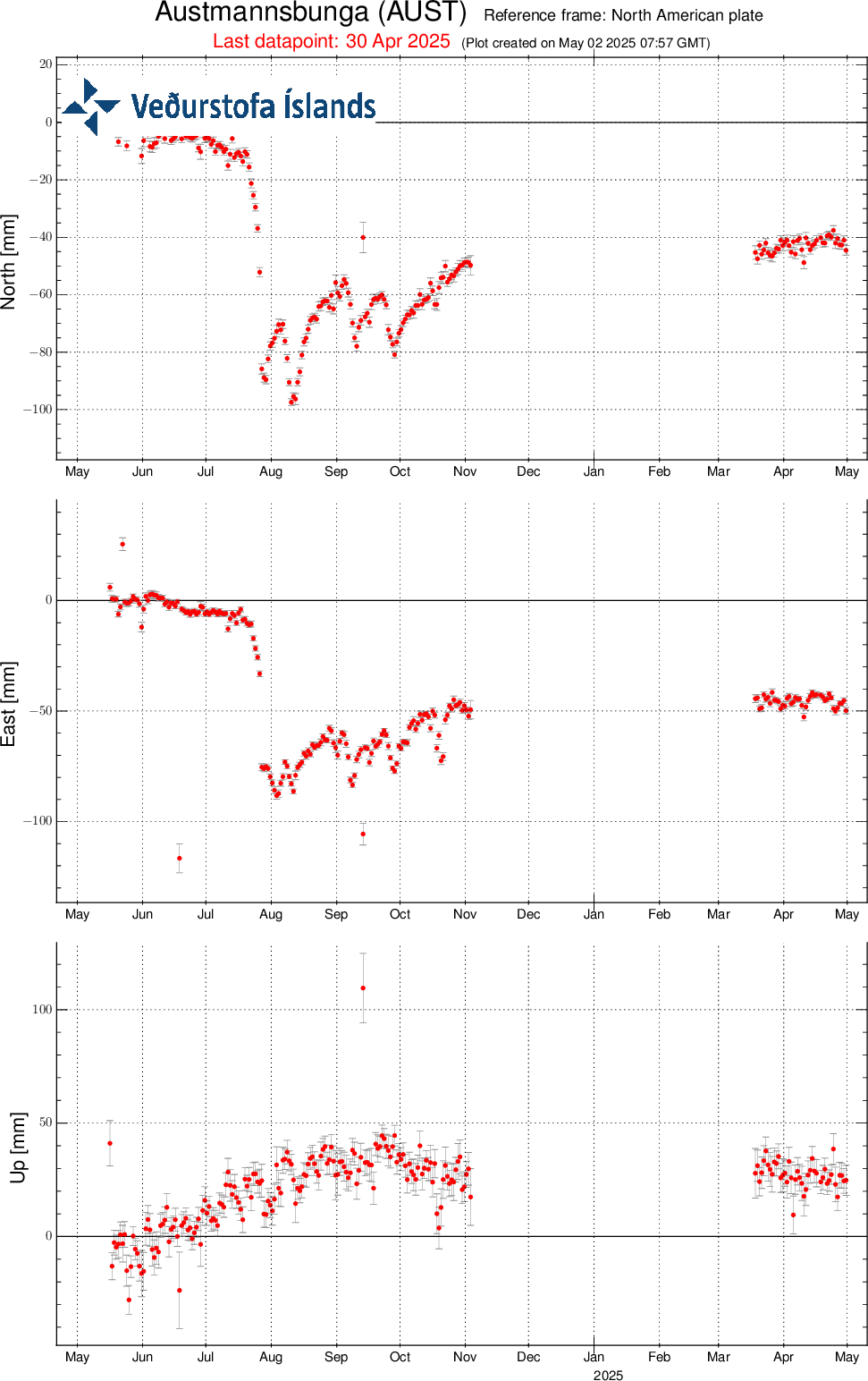
GPS | GPS Monitoring
Kindly study the Terms and conditions which apply to usage of data from the Icelandic Meteorological Office's web-site.


