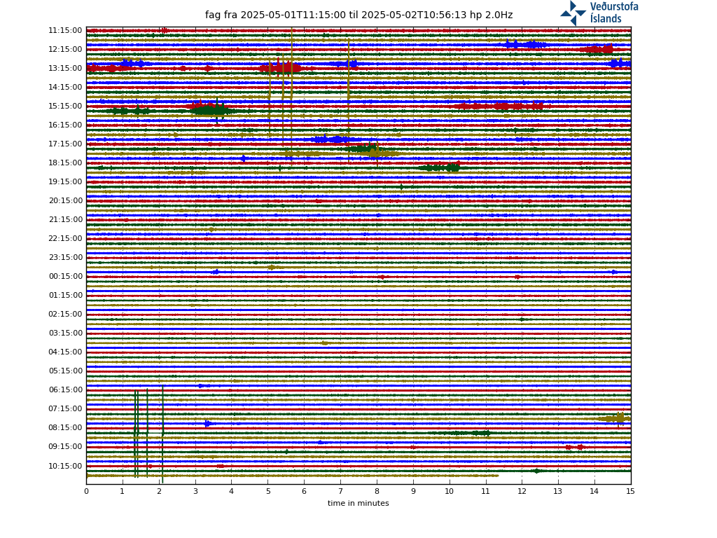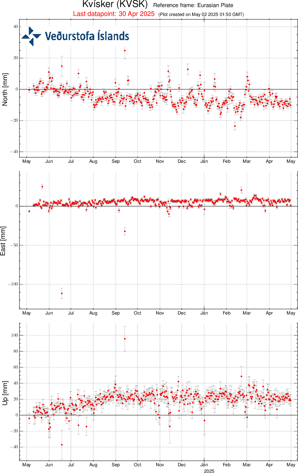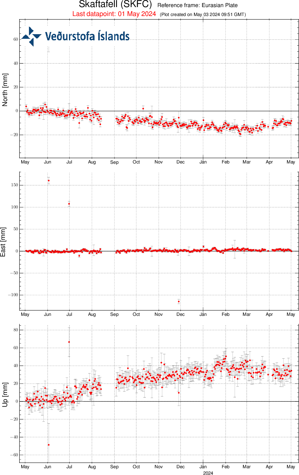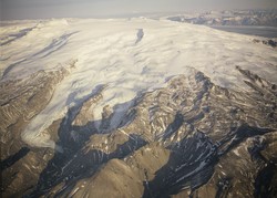
Öræfajökull
Öræfajökull volcanic system is located east of the Neovolcanic zone, i.e. it lies on a volcanic belt outside the main volcanic zones. It lies on a volcanic belt outside of the main volcanic zones with a southwest-norhteast direction and is connected to two other volcanic edifices, Esjufjöll and Snæfell. The geology and eruptive history of Öræfajökull and this volcanic system is not well known, partly explained by the fact that it is almost completely covered by the Vatnajökull glacier. Öræfajökull is a typical stratovolcano with a 12km2 caldera and the volcano rising up to 2110 m.a.s.l. forming the highest peak of Iceland, called Hvannadalshnjúkur. This central volcano is one of the highest volcanoes in Europe.
Öræfajökull has only erupted twice during the last 1100 years. The former eruption in 1362, which was the largest explosive eruption in Iceland in historical time, forming ~10 km3 of silicic tephra. This eruption most likely affected ~75% of the country, but nearby areas were touched the hardest, where total devastation occurred within the 20 km radios of the volcano due to large jökulhlaups (glacial outburst floods), heavy tephra fall, and pyroclastic density currents. The last eruption occurred 291 years ago in 1727.
For more information on the Öræfajökull volcanic system, visit Catalogue of Icelandic volcanoes .