
The weather in Iceland 2005
A report from the Icelandic Meteorological Office
The weather was on the whole favourable, but less settled than during the previous three years. The temperature was above the 1961-1990 normal, about 0.7 to 0.9°C in most areas, but 0.3 to 0.6°C in the Southeast. The highest temperature of the year was measured at Burfell in the southern inland on 23 July, 25.9°C and the lowest at Kolka in the central highlands on 2 January -23.0°C.
The precipitation was below normal in the Southwest, 7% in Reykjavik, but above normal in the Northeast, 15% in Akureyri. The highest 24-hour precipitation total of the year, 218,8 mm, fell at Kvisker in the Southeast on 15 October. Reykjavik was unusually sunny this year, the number of bright sunshine hours being 1548, about 280 above the 1961-1990 mean, making 2005 the sunniest year since the record year of 1924, the observation series started in 1911. At Akureyri the sunshine hours were close to the long-term average.
The Greenland Sea ice appeared at the northern and North-eastern coast, closing some shipping lanes for a few days in March for the first time in the new century.
The average sea level pressure in Reykjavik was 1008.2 hPa, marginally the highest since 1985.
Short comments on the individual months
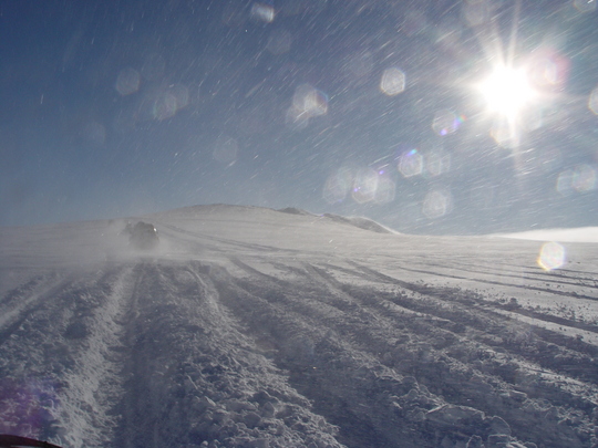
The first part of January brought heavy snowstorms and wind, with avalanche conditions in the Northwest and northern districts. One residential house was demolished and a few other houses were damaged, but as evacuation had been carried out there were no injuries. During the last week of January milder weather set in and the snow disappeared quickly. February and March were mostly warm with unusually light snow conditions all over the country. In March there was no snow in Reykjavik, the first time since March 1977.
The Southeast was very dry. Westerly winds prevailed during this warm spell and brought sea ice from the E-Greenland current, eastward, along the whole northern coast of Iceland. The ice cover was generally light however and coastal shipping was influenced for only a few days.
April was mainly favourable, but windy. May was cold, with prevailing night frosts in most of the country, retarding the growth of vegetation. It was dry and sunny in the south, being the driest at Vestmannaeyjar off the southern coast since the beginning of precipitation observations in 1881.
It was warm and sunny in the South in June, but gloomier in the North and East, especially in the coastal districts. The first half of July was wet but the later part of the month brought fine, warm summer weather to the southern part. August was close to average in the South and West, but wet and cold in the North and East. Akureyri recorded the lowest number of sunshine hours in August since 1969.
September was cold, generally the coldest September since 1982. It was very sunny in the South, but there was early snow in the North. October was the most unfavourable month of the year, being cold and windy. Snow and heavy winds brought considerable problems for traffic in the North during the later part of the month. Unusually heavy precipitation caused local flooding of the village of Höfn in the Southeast around the middle of the month.
The weather in November and December was very unsettled and gloomy, but December being relatively warm with almost no snow in the South. A storm at Christmas brought some damage to the Northwest. Christmas Day was unseasonably warm, temperatures in many parts of the country reaching 10-13°C.
Documents
This article, The weather in Iceland 2005, can be read here in pdf (0.3 Mb)


