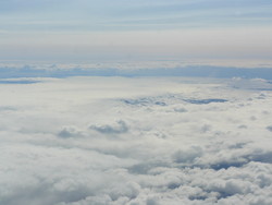
View to the south across Bárðarbunga.
A reconnaissance flight with TF-SIF
21.8.2014
Yesterday, two IMO staff members took part in a flight to Bárðarbunga and along the river Jökulsá á Fjöllum in the aircraft TF-SIF from the Icelandic Coast Guard. The onboard SAR-radar was used to image the glacier and the river.
Although it turned out to be cloudy and the visibility impaired, the radar imaging was successful. If the present seismic activity in Bárðarbunga leads to an eruption and consequently a glacial outburst flood (jökulhlaup), these images will become an important dataset for estimating the changes which may occur on the glacier and on the flooded area.
Fig. 1
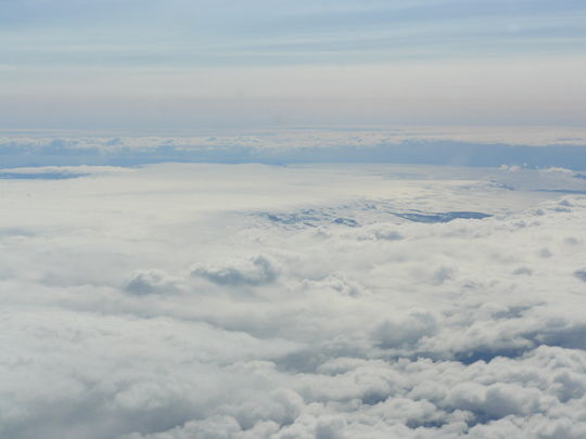
View to the south across Bárðarbunga. Grímsvötn to the left and Köldukvíslarjökull in the foreground. Photo: Halldór Björnsson.
Fig. 2
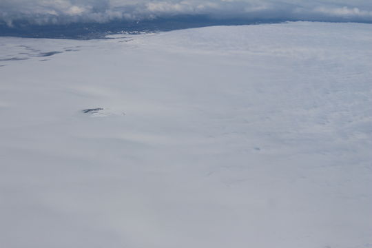
View to the north over the two cauldrons Skaftárkatlar. The western cauldron is visible to the left. The eastern cauldron is hardly visible to the right. If and when water will be released from underneath that cauldron, it will become more visible again. Photo: Þorsteinn Þorsteinsson.
Fig. 3
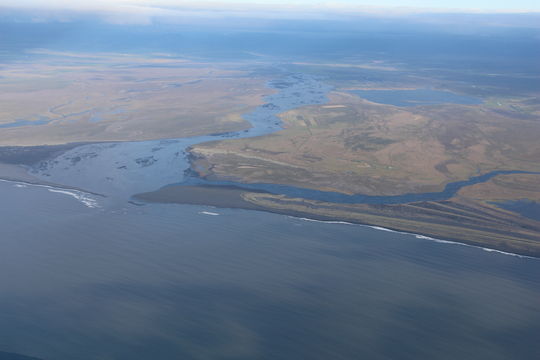
Estuary of river Jökulsá á Fjöllum in Axarfjörður, North Iceland. The small lake to the right is Skjálftavatn, which was formed as a consequence of the prolonged Krafla eruptive phase 1975-1985. Only a small ridge separates the lake from the river. Photo: Þorsteinn Þorsteinsson.
Fig. 4
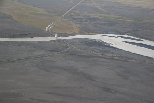
This is where the cirle road around Iceland, road nr. 1, crosses river Jökulsá á Fjöllum, not far from farm Grímsstaðir á Fjöllum. This bridge might come under severe strain if the Bárðarbunga seismic phase leads to an eruption and a glacial outburst flood: A grave concern for the
Icelandic Road and Coastal Administration. Just south of this bridge is
a closed area for safety reasons. Photo: Þorsteinn Þorsteinsson.


