
News
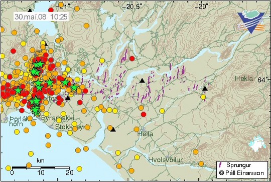
Map of southern Iceland shows a myriad of earthquakes south of lake Þingvellir, west of river Ölfusá (Hvítá), 29-30 May 2008. The towns of Selfoss and Hveragerdi cannot be seen under the cluster of dots.


