
A new weather radar in the East
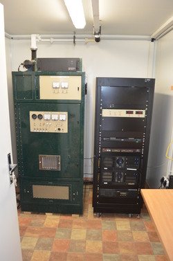
A weather radar for East Iceland was placed at Teigsbjarg, near Egilsstaðir, earlier this year. The trial period is now over and the radar will be formally taken into use Wednesday 12 September 2012 at 11:00, by Árni Snorrason, Dir. General of IMO.
The radar is open to the public during the seremony and IMO‘s specialists will explain its function and the products. Guests are invited for lunch at Skriðuklaustur, where a short talk will be given.
Various radar images are shown on IMO's web. Radar images from the East are now available alongside with such images for the South West from an older radar located next to the airport at Keflavík. Together, they cover important parts of the country with regard to volcanic eruptions. Their daily function, however, is to monitor real time precipitation.
Weather radar images
A weather radar reflects signals from precipitation but also from other objects it encounters, i.e. mountains, and such reflection can be strong. The colour scale at the bottom left corner of a weather radar image shows the strength of the reflection: the higher the number the greater the precipitation (blue signifies low and red high). A strong reflection may be observed although the precipitation does not reach the ground, i.e. when water droplets evaporate while falling.
Combined images are also presented on IMO's web. There, the radar images are combined with a thermal image from the weather satellite Meteosat-9, which belongs to EUMETSAT.

Panoramic view from Teigsbjarg by Richard Yeo, 24 April 2012.


